Hole in the Wall
Home
Photos
Bike Maps
Race Maps
Links
Blog
Forum
About
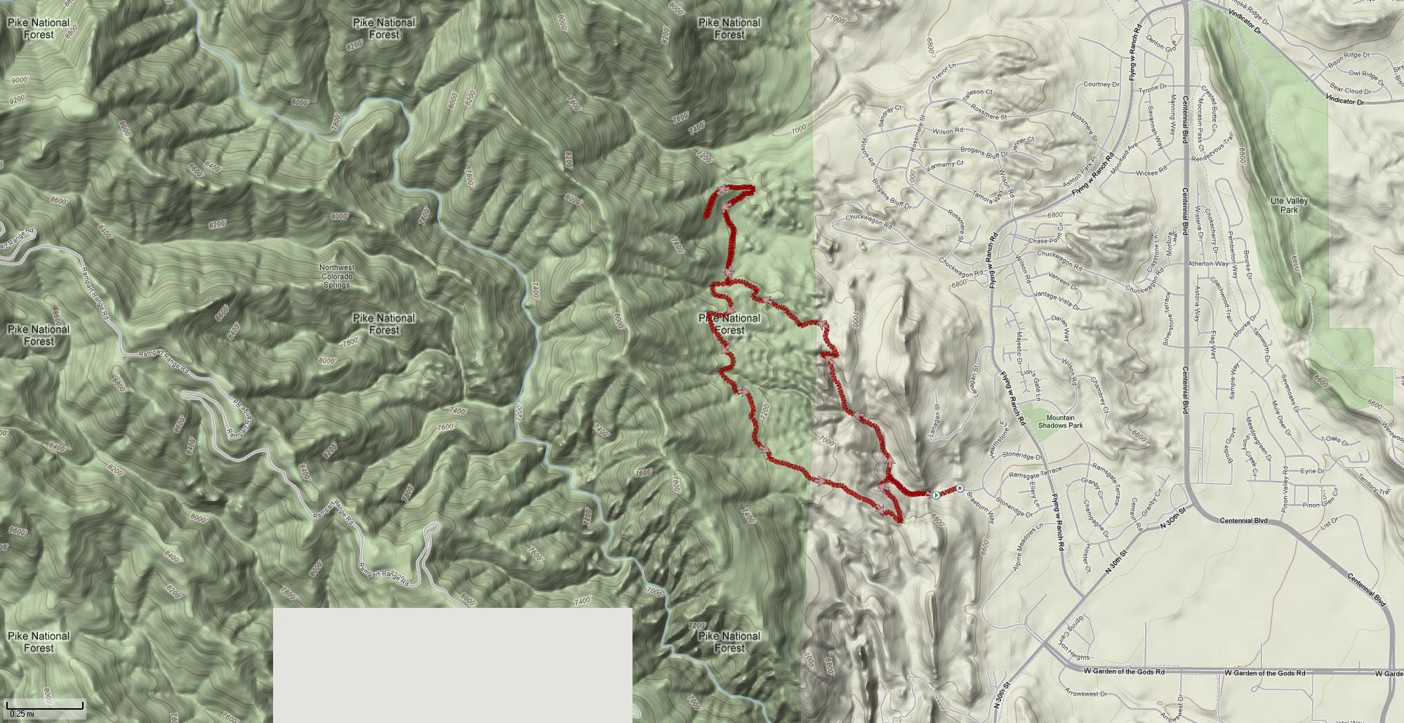
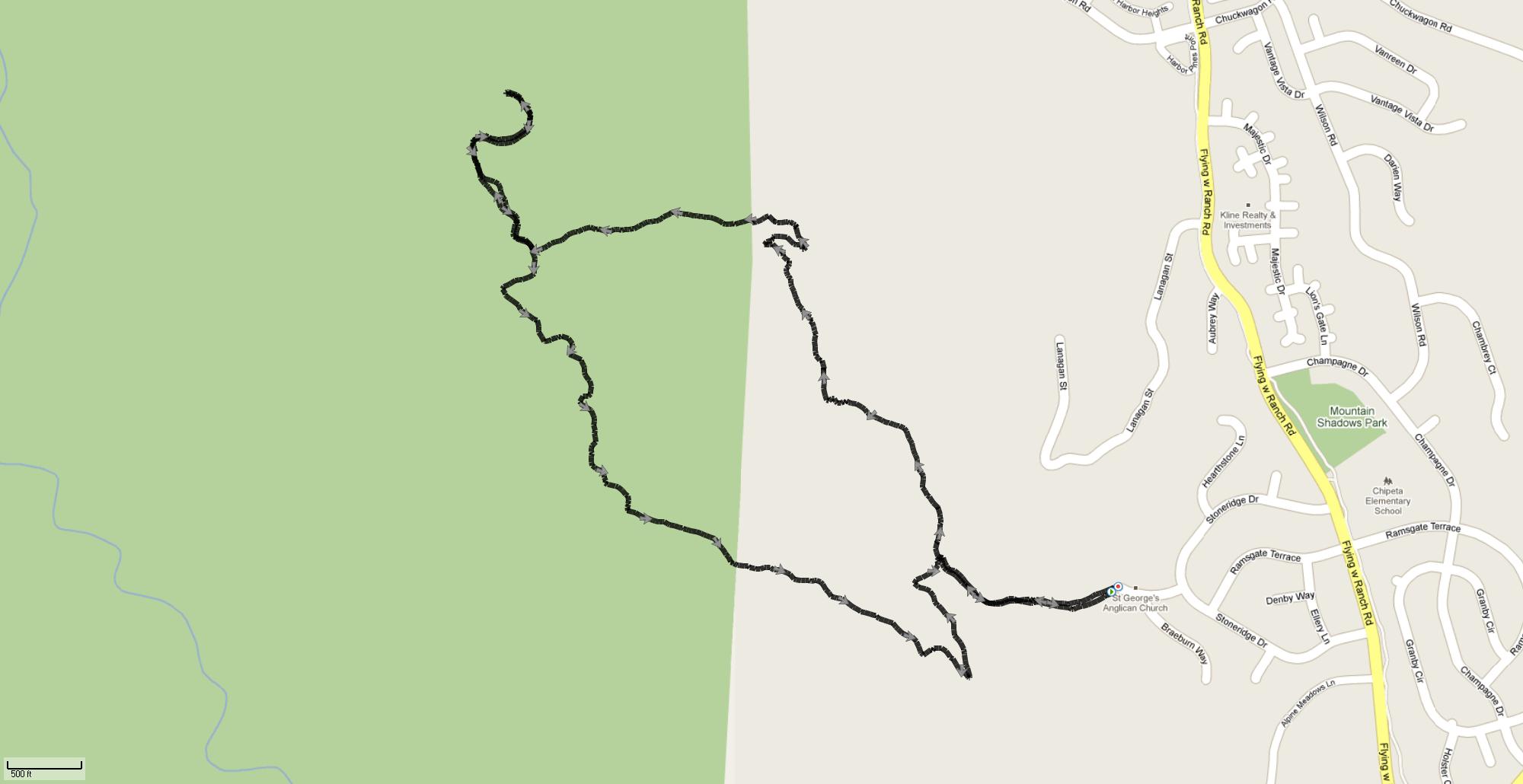
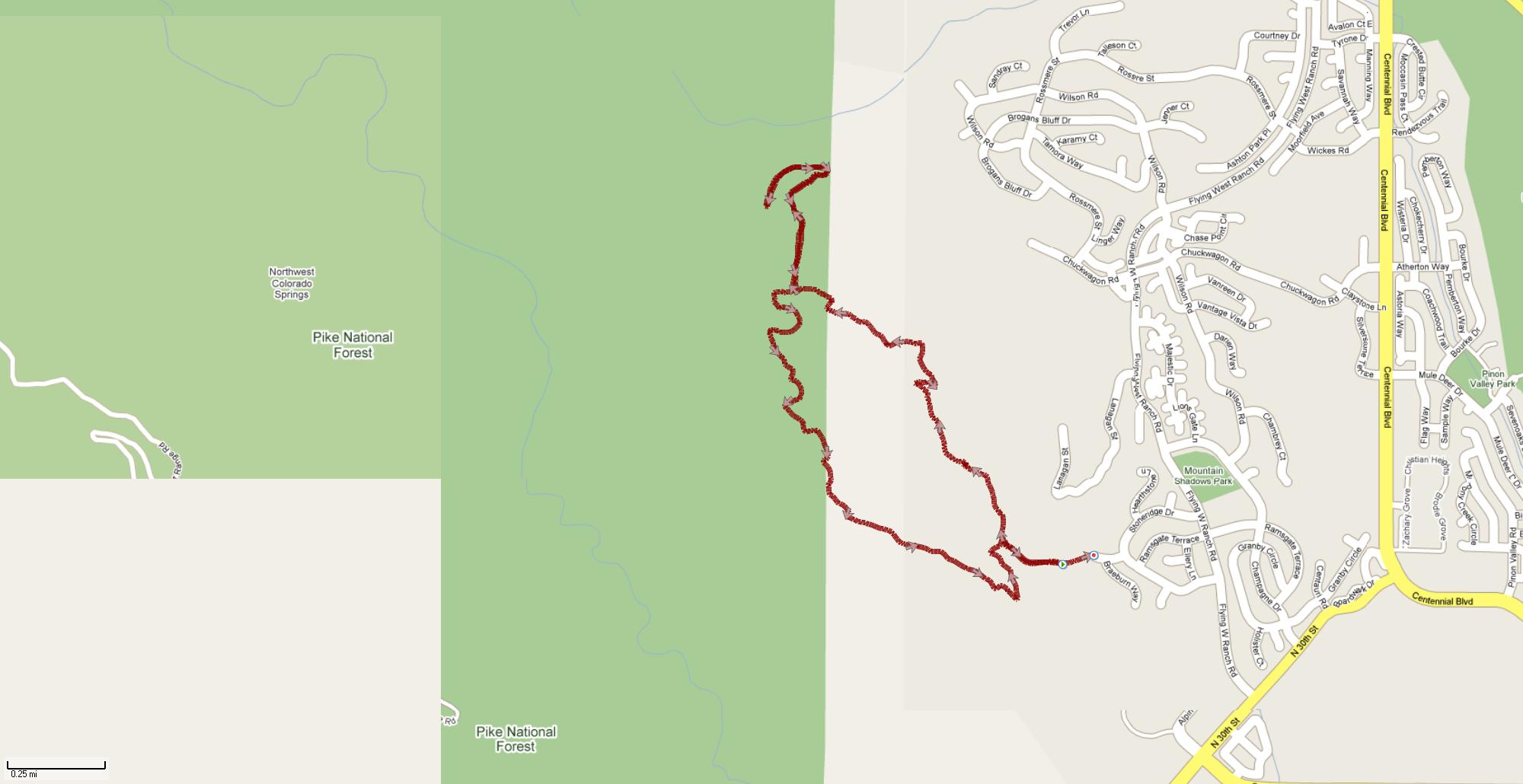
Altitude
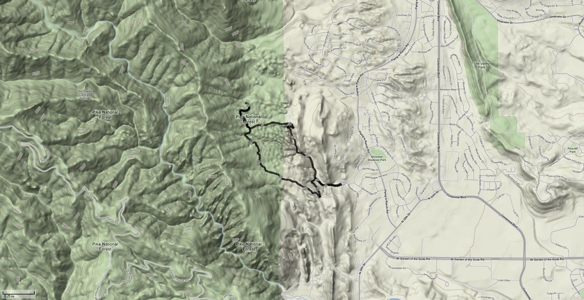
Terrain
Street
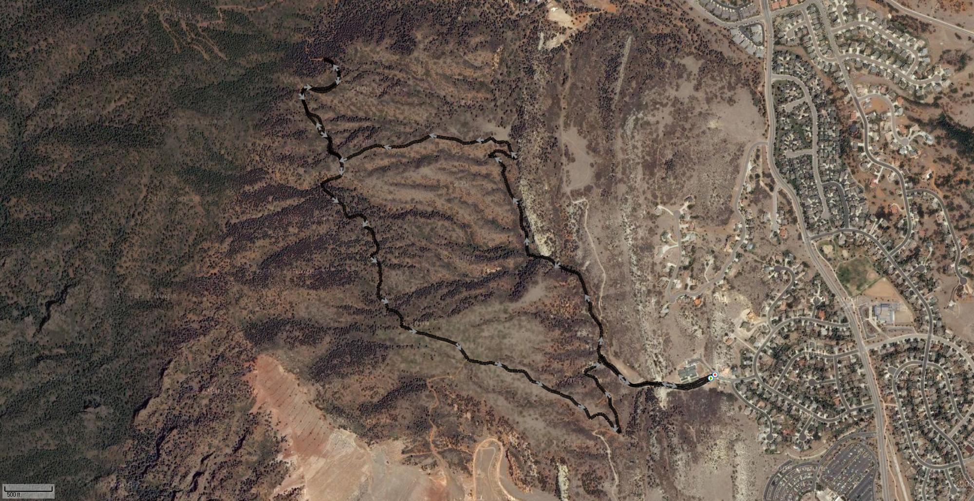
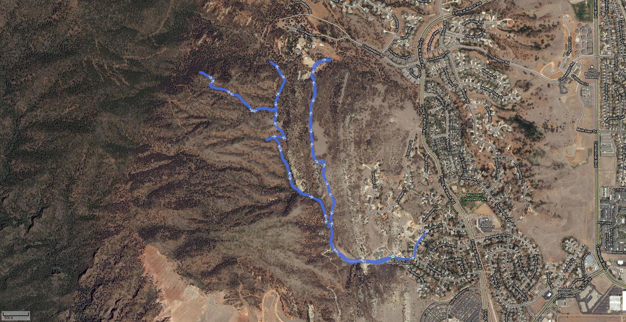
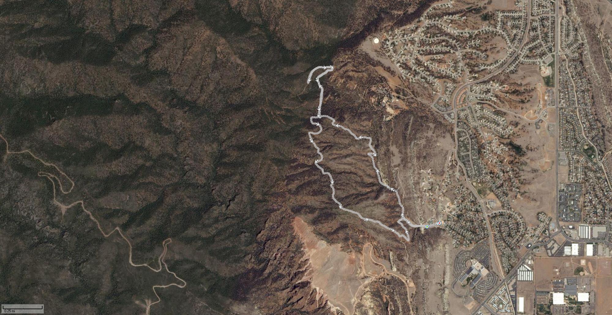
Satellite
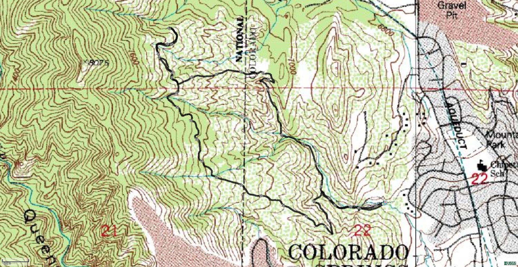
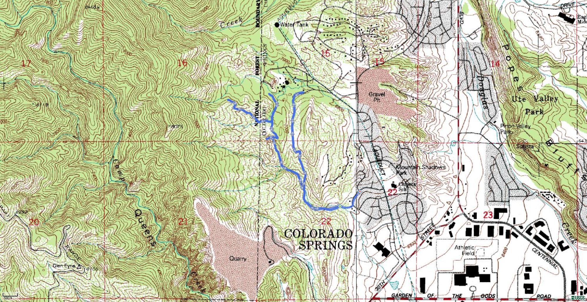
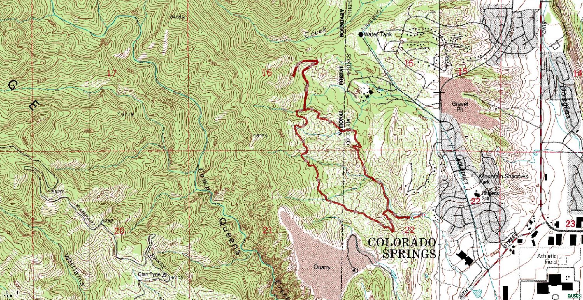
Topo
3D
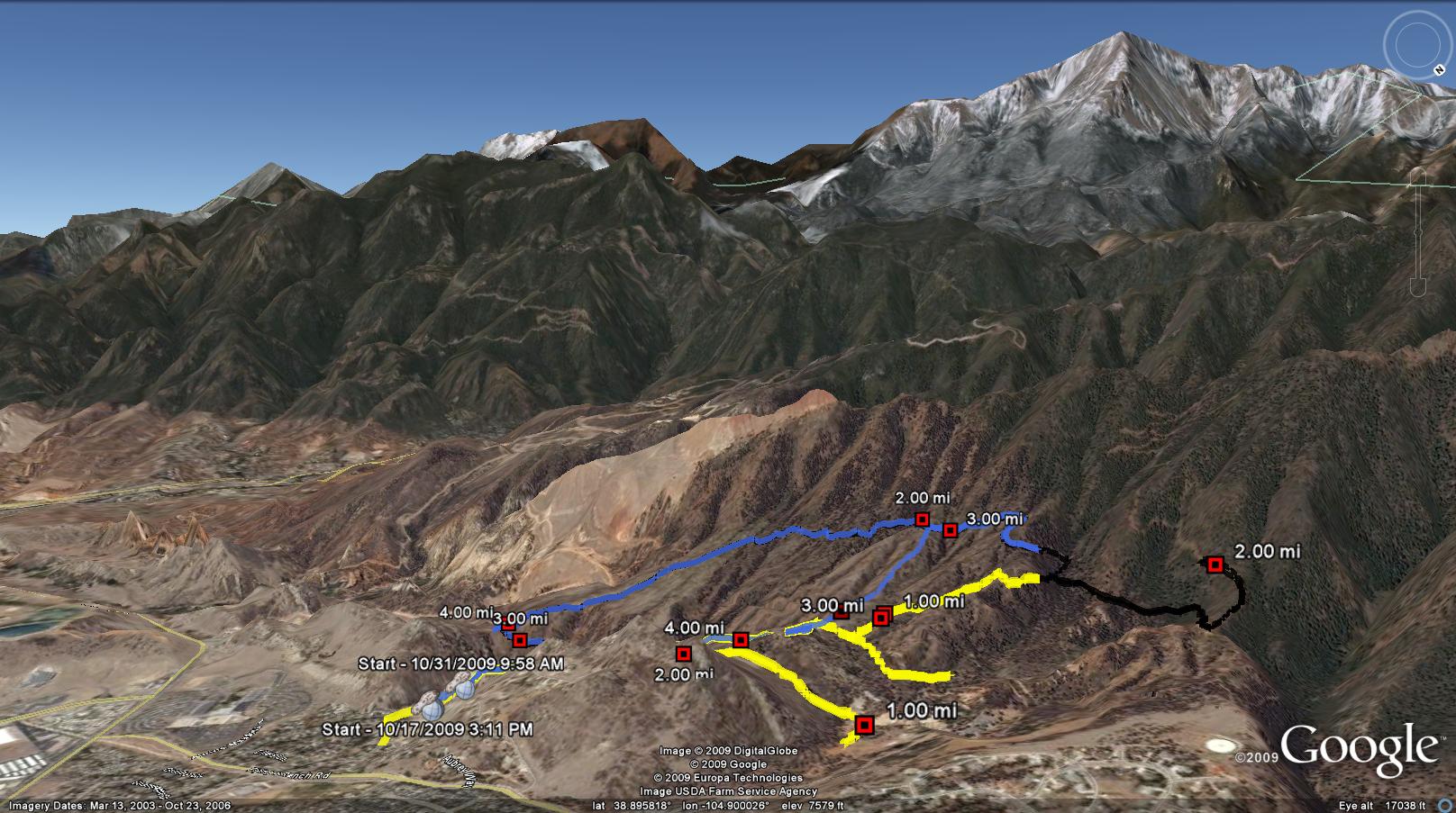
Google Earth
Back
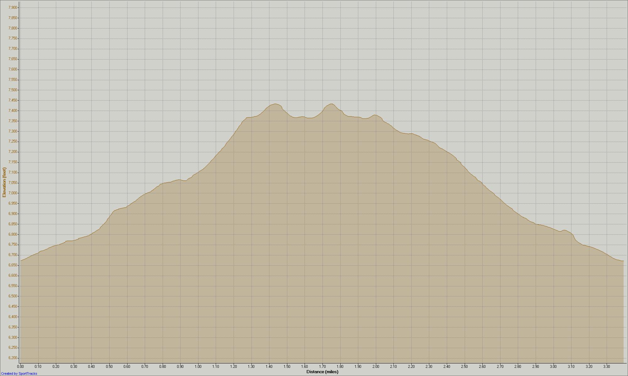
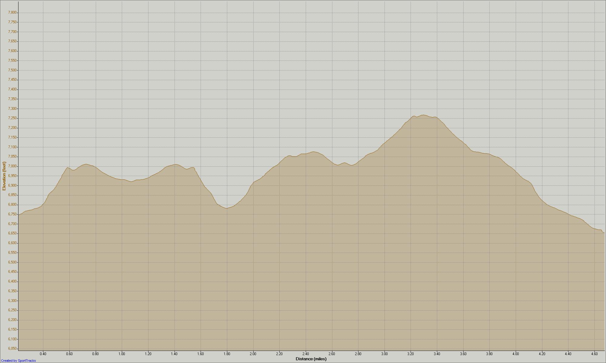
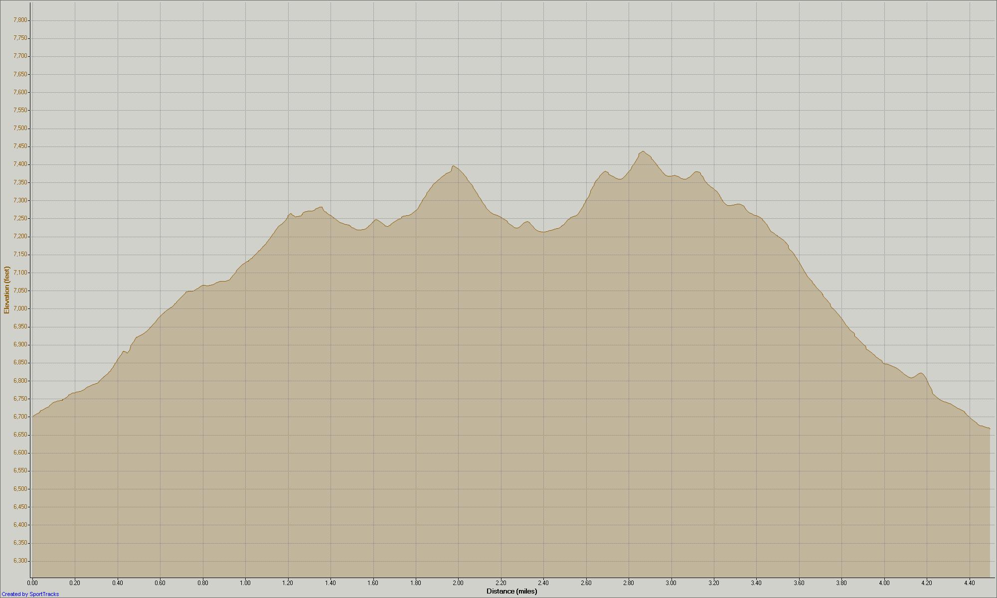
Click Any Graph for Larger View
To get the most out of the maps, I would suggest using the Google Earth link. This will allow you to zoom in on the trail and see more detail than a static map can present.
Altitude View
Terrain View
Street View
Satellite View
Topo View
3D View