Blodgett AFA Trails
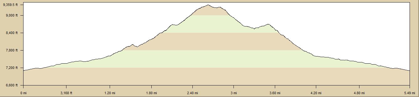
| TrailHead Coordinates N38 577.220 W104 53.209 | Start Elevation 7260 ft | Highest Elevation 9818 ft | Lowest Elevation 6390 ft | Elevation Gain/Chg 0/0 ft | Current Weather - Click for details |
Trailhead / Access
Access to the trails in the AFA, starts by the water tank located on Blodgett Drive. This is not a formal park or trail head, just a place to access trails and roads on the southwestern part of the AFA. Blodgett Drive is off of Woodmen Road in the northwest part of Peregrine. Taking Woodmen west from I-25 or Centennial Blvd north from Garden of the Gods will bring you to Blodgett Drive. Centennial turns into Woodmen at Orchard. Since Blodgett is a U shaped street, it will intersect Woodmen Road twice. It is the northern intersection that is closest to the water tank. Just west of the tank is a gravel jeep path that proceeds in a northerly direction. This jeep path is the main access to the area.
Trail Description
The trails in this part of the AFA are numerous and I will just try to define the more obvious ones. There are other trails that are in the same area as the ones I show here. Many of the trails were made by horse traffic which you will encounter on these trails on occasion. Also, there are times when horses are out to pasture in various sections so be sure to close any gates you pass through.
There are three major sections of the trails in this area. The first section turns left after passing through the 2nd gate you see after passing through the first gate. This section will take you up onto the lower parts of Blodgett Peak. The second section consists of the two north-south running jeep roads. And the third part runs east from the entrance down to Ice Lake and towards the stable area. Within these sections, there are numerous trails to follow. Most of them will take off and terminate at one of the major jeep roadways that cut through the major sections.
After about 100 yards along the entrance roadway, there is a metal gate which defines the border of the AFA grounds. Be sure to check the AFA website to insure that there are no security restrictions in place before entering the Academy. During high alert situations, access may be restricted.
The area has a number of gates and fences because of its use as grazing areas for the horses kept at the Academy stables. If you stay on the main jeep like trails, the courses would be considered as easy to moderate. The single track trails can range from moderate to difficult.
This area is suitable for running, hiking and biking. It is not heavily used but I believe that as long as the AFA is open to visitors, you can access these trails. I was only stopped one time and that was because I was over near the water treatment plant heading up West Monument Creek to the Rampart Reservoir area and all that they requested was I use a different route away from the treatment plant area. You should check the Academy website to be sure that there are no restrictions in effect before using them. Also in fall, this area is used for hunting. Most of the time, I have seen notices posted when this is happening.
Trail Details for Various Trails Options
Course 1 - 5.5 miles
Course 1 is a loop where you head up the Blodgett Peak to a trail that is visible about 1/3 of the way up the
peak. This visible trail can be taken left and up to the top of Blodgett as it will join the trail that
starts over in the Blodgett Open Space area that goes to the top.
If you go right, the trail will drop back down to the roadway that you started on and then goes north from the entrance
gate to a small reservoir at the north end. This trail especially on the downhill section is very rocky and washed
out. I would rate it as moderately difficult because of the loose rock and washout conditions. The trail
will come down and join the roadway about 1/4 mile before the reservoir. When you crest the hill that drops down
to the reservoir, there is a trail that takes off to the right. Take this trail.
This trail descends to the lower north/south roadway. Near the bottom of the trail, just before it reaches the roadway,
it will have a patch of rocky and washed out trail. This is not very extensive. Just before this section is a small
patch that gets quite muddy in wet conditions. Most of this trail is easy to naviagate with just those couple of sections
that require more care.
After reaching the gravel roadway, turn right. To the left, the roadway is blocked with no access at the city water treatment
plant. Proceed on this roadway until you see a gate on the left. Going through the gate, bear to the right and drop down
into the valley below. The trail here is not very clear but you can pick it out at points along the way.
At the bottom of the hill, head east and follow the trail. It will parallel the fences for the most part but wander a bit
away at times. You will reach another gate through the fence you are following, go through this one and then continue
eastward on the trail until you reach a gravel roadway. To the left you will find the AFA Stables, to the right, the roadway
ends at the roadway that goes to Ice Lake. Turn right and follow the roadway for about a mile to the open area near the
gate where you first entered the AFA. Turn left on the roadway back to the water tank and Blodgett.
Course 2 - 4.8 miles
Course 2 is similar to Course 1 except that you do not go up the trail onto Blodgett but just go straight on the upper jeep road til you reach the trail branching to the right that goes down to the lower jeep road. There is a slight variation to this that takes a trail on the left near a large vent pipe in concrete shortly after starting on the upper jeep road. This narrow trail kind of wanders around the meadow area west to the jeep road and rejoins the jeep road about 2/3 mile later. It offers a less steep route than the ups/downs of the jeep road. After reaching the point where the trail comes off of Blodgett peak, the rest of the course is the same as Course 1.
Course 3 - 2.5 miles
Course 3 is a simple route which just uses the 2 jeep roads as a loop and is the easiest and shortest of the courses. An alternative would be an out/back on either of the jeep roads. The lower jeep road ends up at the water treatment plant and is restricted access near the plant. Signs will alert you to this.
Course 4 - 4.5 miles
Course 4 is a course that I use to gain access to the Falcon Trail. Using the lower jeep road to the gate, instead of bearing right, bear left and you can then follow the trail to the southeast as it travels above the dry reservoir area and ends up at a paved road that leads to the water treatment plant. You will need to climb the fence/gate and then cross the road and look for a trail that descends to the right and joins the falcon trail. It is just to the right of the large rocks across from the gate. You could also follow the roadway about 1/3 mile or so and pick up the Falcon Trail there also. You will see the trail off to the right.
Course 5 - 6.85 miles
Course 5 is the Ice Lake road (my name). This road goes down for about 3 miles then you turn around and come up for about 3 miles. If you take the trail to the right at 3 miles, you can get over to Ice Lake itself and this adds about another mile round trip. The road is in good shape and not too steep except in 2 places. At 1 mile, the trail drops down to where the road from the stables comes in then climbs back up. At about 2 miles, the trail drops down to a cement post which is about the 3 mile point.