Blodgett Open Space
NOTE: Due to the recent fires, this trail has been closed until further notice
The Blodgett Open Space Area was part of the Blodgett Ranch and I think it may have been part of the convent property after that. When Peregrine was developed and the roads reconfigured, a water tank was put up above the development. With a dirt road leading to the tank, it became a hiking area and recently upgraded as a formal Open Space within the city park system. It is about 160 acres and adjoins national forest land. With the development of the Open Space, parking has been provided however, it is limited so most people park on Woodmen Road. The trails consist of the main roadway to the tank, a smaller dirt roadway that swings up and above the water tank, several trails which have been worked on by volunteers, and other social trails. The west end of the open space joins up with Pike National Forest land which extends the available land available for activities.
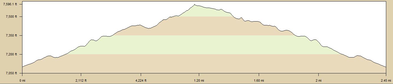
| TrailHead Coordinates N38.948822 W104.885973 | Start Elevation 7070 ft | Highest Elevation 7750 ft | Lowest Elevation 7070 ft | Elevation Gain/Chg 625/1250 ft | Current Weather - Click for details |
Trailhead / Access
The trail head for the Blodgett Open Space starts at a parking lot on Woodmen Road in
the Peregrine Subdivision. The parking lot is quite small and sometimes contains a portable potty
but parking is allowed along the street also. Best route to the trailhead is via Centennial Blvd which turns into Woodmen
after Vindicator road. You could also follow Woodmen west from I-25 but I think this is a bit longer depending on where
you are coming from.
Trail Description
The Open Space consists of mostly moderate run/hike trails with it being uphill going out and downhill coming back with a moderate level of steepness. A couple of places are rocky and in wet weather, mud can be a factor. Most of the options I have explored are about 1.5 - 3.0 miles but this can be extended by doing multiple options. If you go to the top of Blodgett Peak, that trail would be considered difficult. It is very steep and can be hard to follow in places. There is also a lot of loose scree.
This trailhead is the starting point for a number of different trail options of which I have documented a few here and connects to the Blodgett/AFA Trails off of Blodgett Drive which I have also documented. This trailhead also serves as the starting point for climbing Blodgett Peak which I will document later when I get a chance to climb it.
From the parking lot, there are two ways to proceed. First is the dirt road through a gate which is used by the city to access the water tank and the second is a single track trail that takes off from the south (left) side of the lot and will eventually join the dirt road. Most of the other options take off from these trails.
The trails are uphill most of the way out regardless of the route you take. They are moderately steep but the dirt road and trails are in good condition in most of the areas. There are a couple of smaller trails that are narrower and less maintained but nothing in too bad of condition until you get up above the Open Space and into the National Forest. The upper part of the dirt road and some of the trails can be muddy in bad weather and during spring thaw times.
I have document 3 different trail options so far. They branch off the dirt road at various point as you proceed up the road. The water tank is about .85 miles up and I use that as the central spine for the different trail options.
The best way to understand how this trails interlock, follow the link to Google Earth. In the kmz file that is load, I have placed a number of trails options. If you use the sidebar, you can switch on and off the various trails options and see how they relate to each other. There are more trail options in the kmz than I describe below.
Course 1 - 1.70 miles
For Course 1, Start by using the Water tank access road and follow this up to the water tank. This is about .85 miles. At the gate leading into the tank area, there is a trail that takes off to the right and descends. This trail will take you back to the access road. This is a spot on this trail, where it branches. The left fork will go over to the Peregrine subdivision and end at the road way, the right fork goesto the access road, where you can return to the trailhead. This course is a simple one and good for a less than 2 miles even if you go to the subdivision and back. A good trail to follow for an easy hike.
Course 2 - 1.69 miles
In Course 2, I explore some of the trails in the section south of the water tank access road. It starts by taking the road up towards the tank. At about 1/4 mile, there is a trail to the left. This is a short spur that leads to a east-west trail. If you go to the left, the trails descends back to Woodmen road at a point about 1/4 mile south of the trailhead. To the right, the trail will climb and connect with other trails in the area and also the main road to the water tank. If you take the right fork, you will join the water tank road at about 1/2 mile up from the trail head. From this point, you can head up the trail to the water tank or turn right and return to the trailhead. There are other trails that take off from various points on these trails. These other trails generally go up hill and can get quite steep as you approach the National Forest. As with the 1st course, this is a simple course. It is a little nicer than Course 1 in that you get into the trees and onto single track trails. It is in this section that I had a bobcat encounter so wildlife can be observed at times.
Course 3 - 2.75 miles
Course 3 follows the tank road to the water tank. Here you go through the gate and head north. At the end of the tank area, there is a trail that heads north. Following this trail takes you past a nice rock formation and end at a east-west trail. The trail to the right dead ends onto private property and it is not encouraged that people go that way. I seem to recall that trail is left over from before the subdivision was built. To the left, the trails climb up to a wider trail not quite a road size but larger than single track. This is the point where those who plan to climb Blodgett Peak start the main ascent to the top. The Peak trail takes off to the left about 50 yards from where you joined this trail. There are two trails here. The on straight ahead, goes over to the area I describe as the Blodgett-AFA trails, and the trail to the left, climbs up the valley to the top of Blodgett.